Descripción
Producto y solución industrial
Field Survey Applications
Consulta información técnica, comercial y disponibilidad de esta solución de Maptek Chile.
Información sobre Field Survey Applications | Maptek Chile

ENVIAR EMAIL
I-Site laser scanning handled a large underground survey project with ease, delivering timely, accurate data to guide limestone mining operations.
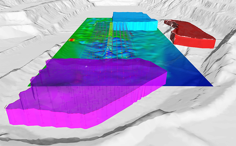
Accurate mapping of the interface between underground and open pit operations with laser scanning provides detailed survey data.
I-Site technology defined the geology and stability of cliff faces, helping a road construction company to plan a safe expansion project.
Laser scanning brings accuracy and efficiency to land forming processes, ensuring the correct surface grade for irrigation systems.
I-Site provides a solution for monitoring landforms and vegetation that is gaining acceptance from authorities signing off on rehabilitation plans.
Accurate surfaces are the key to knowing material volumes, handling methods and storage locations. This streamlines the design process and leads to efficient operations.
This study demonstrated that I-Site surveys take less time, and deliver more accurate results than traditional methods for powerline survey.
Más información sobre este producto consulte en: http://www.maptek.com/products/i-site/case_studies/field_survey.html

Servicios y capacidades
Consulta disponibilidad, configuración, dimensiones, compatibilidad, capacidad, transporte, montaje y condiciones comerciales directamente dentro de IndustriaMinera.cl.
Empresa: Maptek Chile
Otros productos de Maptek Chile

Formulario de Contacto
* Solicita información referida a Field Survey Applications a Maptek Chile.