Descripción
ENVIAR EMAIL
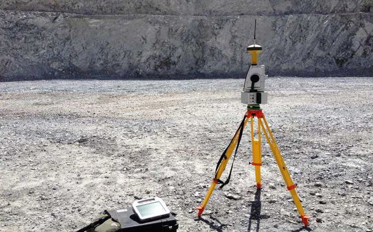
Geotechnical engineers found Maptek™ I-Site™ was the ideal solution to define structural domains for the primary mineralisation of the Esperanza mine in Antofagasta
Esperanza is a porphyry copper-gold mine owned by AMSA (70%) and Marubeni (30%). Located 100 km south of Calama in the Antofagasta region at 2300 m above sea level, the Esperanza pit measures 1.5 km long, 1.3-1.4 km wide and 390-400 m deep.
The geology comprises a sequence of Cretaceous volcaniclastic andesite and dacite dipping 20 to 30 degrees west, with a series of minor porphyry intrusions.
The main structural model, generated by geologists for the Esperanza mine in August 2013, clearly defined the boundary between the primary and secondary mineralisation.
The challenge
- Mapping benches by hand is inexact and presents safety issues
- ATV (Amateur Television) scanning is slow and expensive
- Maptek™ I-Site™ laser scanning was chosen because it is fast and provides detailed data for good quality results
- Share This
- I-Site defines Esperanza
Más información sobre este producto consulte en: http://www.maptek.com/forge/march_2014/i-site_defines_esperanza.html


