Descripción
Producto y solución industrial
I-Site Land Forming Case Study
Consulta información técnica, comercial y disponibilidad de esta solución de Maptek Chile.
Información sobre I-Site Land Forming Case Study | Maptek Chile

ENVIAR EMAIL
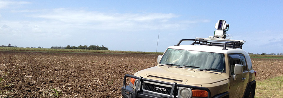
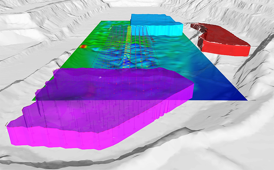
Land forming is the process of applying a man-made slope on land to be used for irrigation. Laser scanning provides accuracy and efficiency to ensure the correct grade for pre-determined watering and drainage systems.
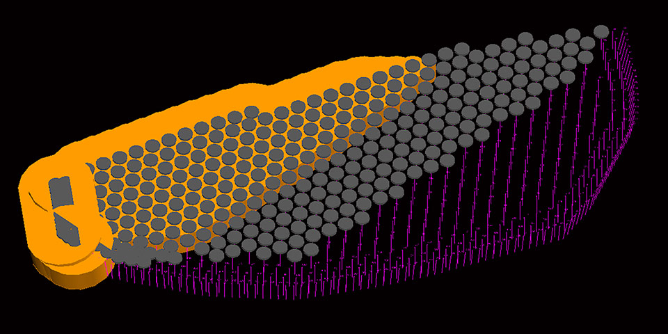
Comparing the design against actual at regular intervals throughout the farrowing activity ensures the paddocks adhere to specifications.
The current method is to use survey GPS on a vehicle and pick up a point every 5 to 10 metres along tracks 15 to 25 metres apart.
- Survey the paddocks with the Maptek I-Site laser scanner to produce detailed surface models
- Export models as dxf for import into Civil 3D or similar system
- Create multi-plane data for export to machine guidance format
- Upload multi-plane data to machine guidance system
- Share This
- I-Site land forming case study
Más información sobre este producto consulte en: http://www.maptek.com/forge/march_2014/i-site_land_forming.html

Servicios y capacidades
Consulta disponibilidad, configuración, dimensiones, compatibilidad, capacidad, transporte, montaje y condiciones comerciales directamente dentro de IndustriaMinera.cl.
Empresa: Maptek Chile
Otros productos de Maptek Chile


Formulario de Contacto
* Solicita información referida a I-Site Land Forming Case Study a Maptek Chile.